Google to the rescue
One of the things that I found a bit difficult was getting some of the detail of surrounds. I tried google for everything from the standard station and viaduct photos that are floating around the web. These photos are great (shows the historic views) but not so good for details.
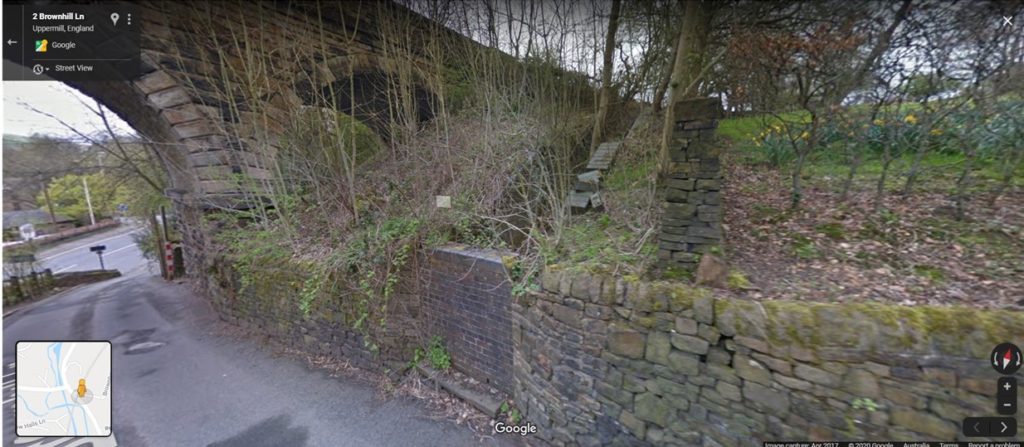
For example, there was a path going down the side of the hill from the station that meets up with Brownhill Lane. I wasn’t sure how it joined up.
Google maps allows you to walk around the streets so I just walked up the lane and took a look:

The path is now bricked up but it shows me how it would have connected. Now I can build it accordingly.

