Old maps
As part of my hunting and gathering, I wanted drill down into the maps that the Disused Stations site showed me here (scroll the page to find the maps).
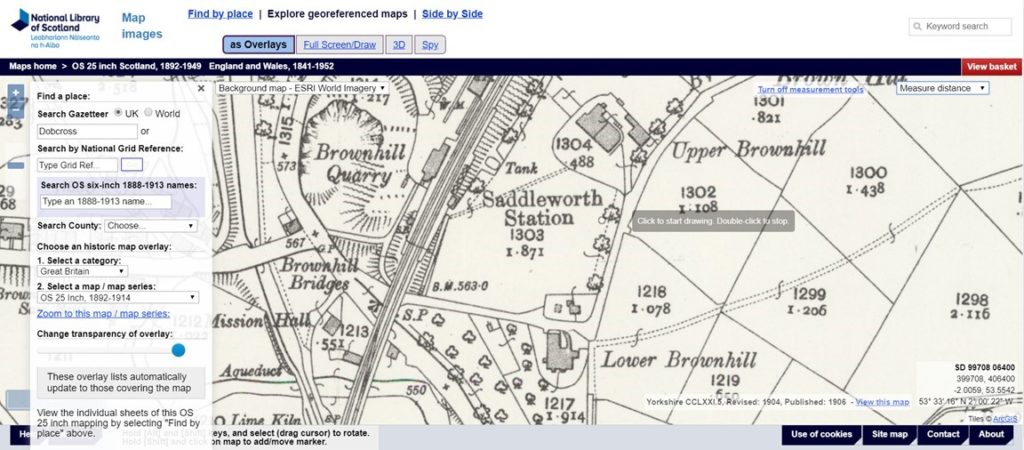
So off to the National Library of Scotland who seem to do the best job of archiving maps of England:

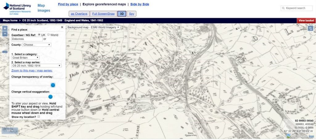
You can even look at the maps in 3D which was useful to get an idea of how the topography might look:

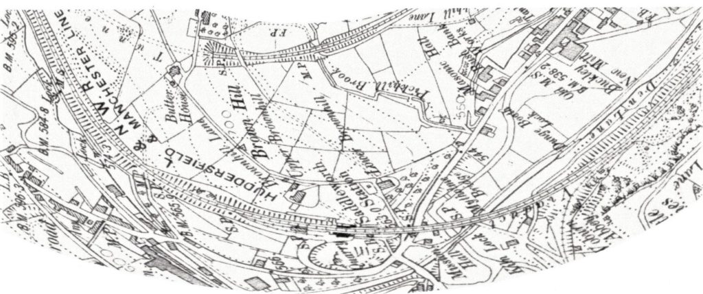
Since I was trying to turn the location into a continuous loop, I played around with the image. I had to curve it to see how it might be part of a loop.

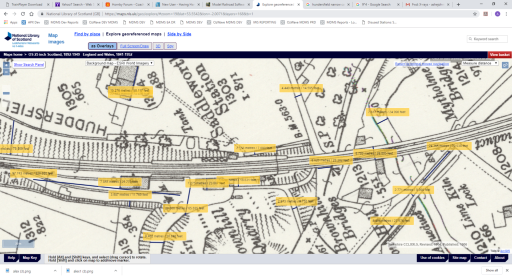
I also rotated the map around (to align with how it would sit on the plan) . Next I used the website measurement function to take a few key measures as well. This is a key reference image:

This was used as a stepping stone to my actual plan.

